| Return shipping will be paid by | Seller |
|---|---|
| All returns accepted | Returns Accepted |
| Item must be returned within | 30 Days |
| Refund will be given as | Money Back |
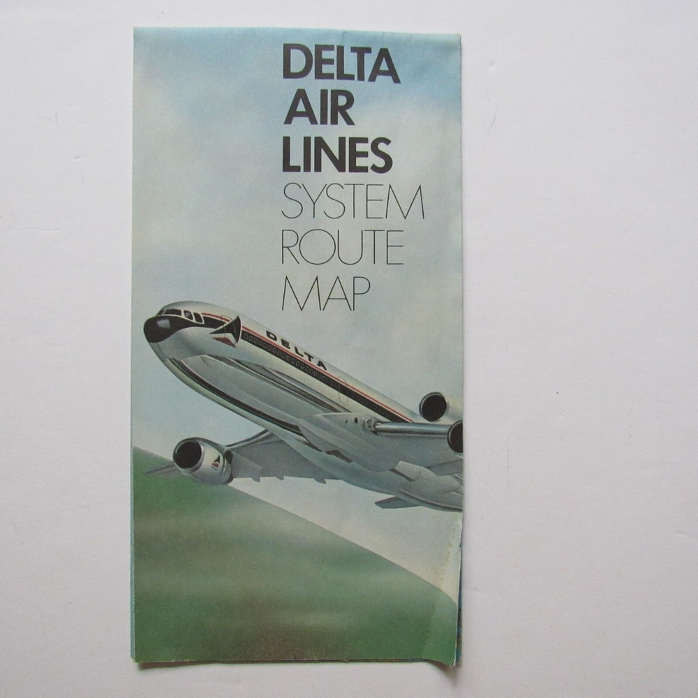
| Type | Maps |
| Airline | Delta |
Check the listing for details. Delta Air Lines System Route Map, January 1978, Fold Out 22" x 17". Condition: Used. Listed at 12.95 USD. For sale is a Delta Air Lines System Route Map dated January 1978. This fold out brochure features a topographic map of the United States with white lines showing flights mostly in the East with hubs in Chicago and Atlanta. The reverse provides passengers with an overview to viewing the earth from a plane including a chart of flight height and distance seen in miles. Air temperature, cabin pressure and climate control, fuel consumption, guidance systems and radar are also covered. The brochure is in good condition with a bend in the lower right corner (lower left map) and some gentle shelf wear. Approximate MeasurementsFolded: 4 3/8" wide by 8 1/2" highOpen:21 7/8" wide by 16 7/8" high
You may also like